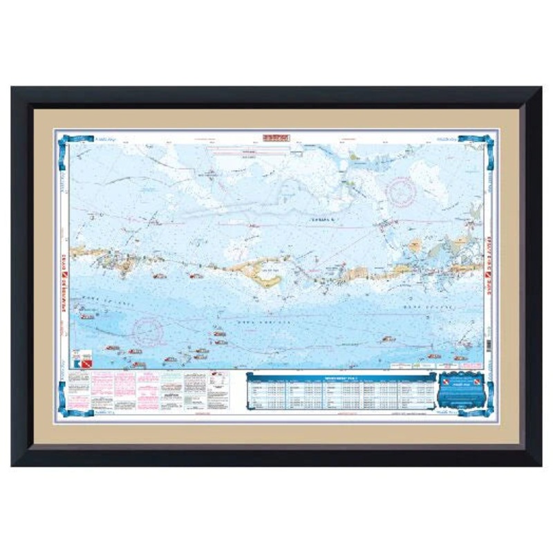
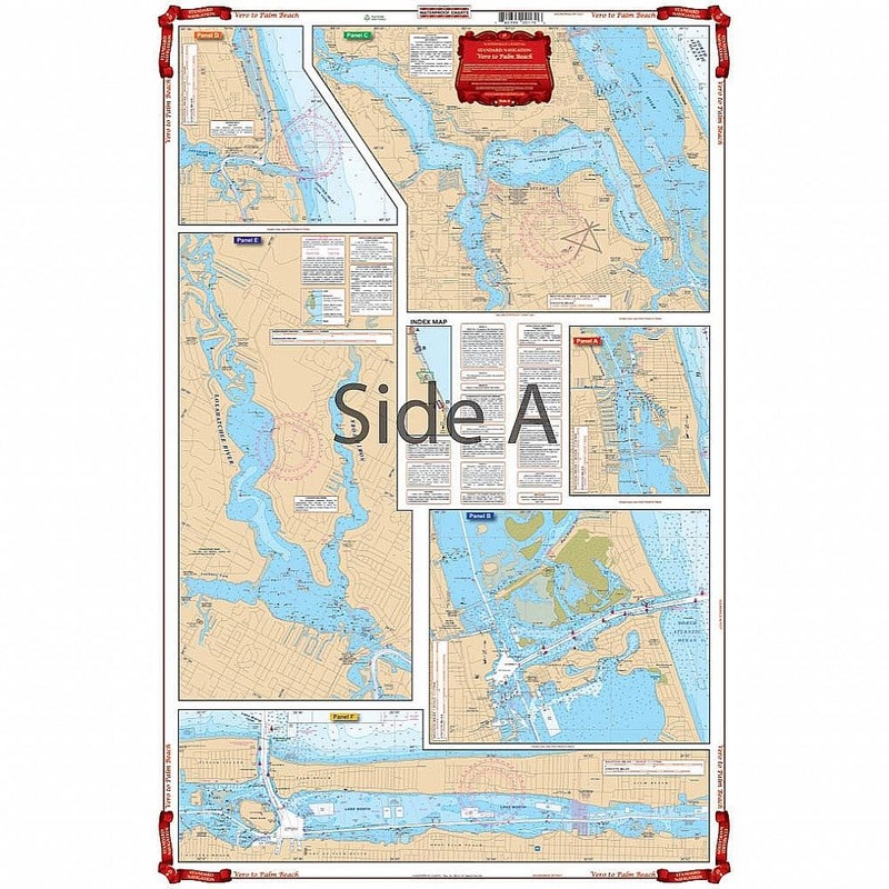
Waterproof Charts 38 North Bahama Islands Standard Navigation
North Bahama IslandsSide A is an enlarged projection of Floridas South East Coast from Stuart south to Elliot Key and east to include the Abacos Islands and south to include the Bimini and Berry Islands. Side B includes South Florida, Cuba, and the Bahama
North Bahama Islands
Side A is an enlarged projection of Floridas South East Coast from Stuart south to Elliot Key and east to include the Abacos Islands and south to include the Bimini and Berry Islands. Side B includes South Florida, Cuba, and the Bahama Islands south and east to the northwest coast of Haiti. This is a great chart for planning your trip to the Abacos or anywhere in the Bahamas. This Chart of the Bahamas needs to be in your Chart Drawer. Side A is an enlarged projection of Floridas South East Coast from Stuart south to Elliot Key and east to include the Abacos Islands and south to include the Bimini and Berry Islands. Side B includes South Florida, Cuba, and the Bahama Islands south and east to the northwest coast of Haiti. This is a great navigation chart for planning your trip to the Abacos or anywhere in the Bahamas. You will be able to expertly journey from Florida to the Bahamas with ease.
Reviews
There are no reviews yet.