Waterproof Middle Keys to Sanibel Maxi Navigation Chart 3
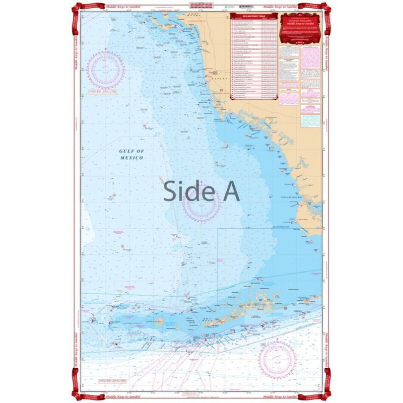
Sanibel to Middle KeysA creative splice of three NOAA charts combined with a general area offshore chart fills the chart gap north of the middle and lower keys. The offshore side covers the area from Sanibel south to the Marquesas, Key West and Marathon wi
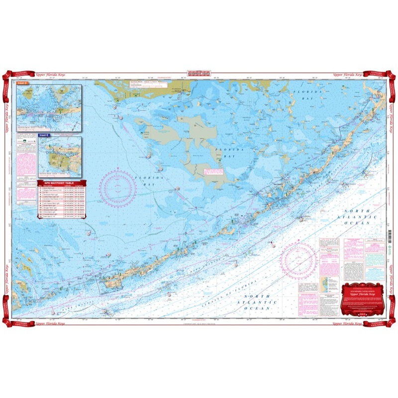
Sanibel to Middle Keys
A creative splice of three NOAA charts combined with a general area offshore chart fills the chart gap north of the middle and lower keys. The offshore side covers the area from Sanibel south to the Marquesas, Key West and Marathon with 22 GPS Waypoints for easy navigation. The inshore, southern side combines three coastal charts to give continuous coverage from Cape Sable along the western National Park Boundary south to Marathon, and west to the Content and Sawyer Keys. 28 GPS waypoints for nav aids and numerous wrecks, fishing and lobster spots. When we say we have the best nautical charts on the market, we mean it.
Reviews
There are no reviews yet.