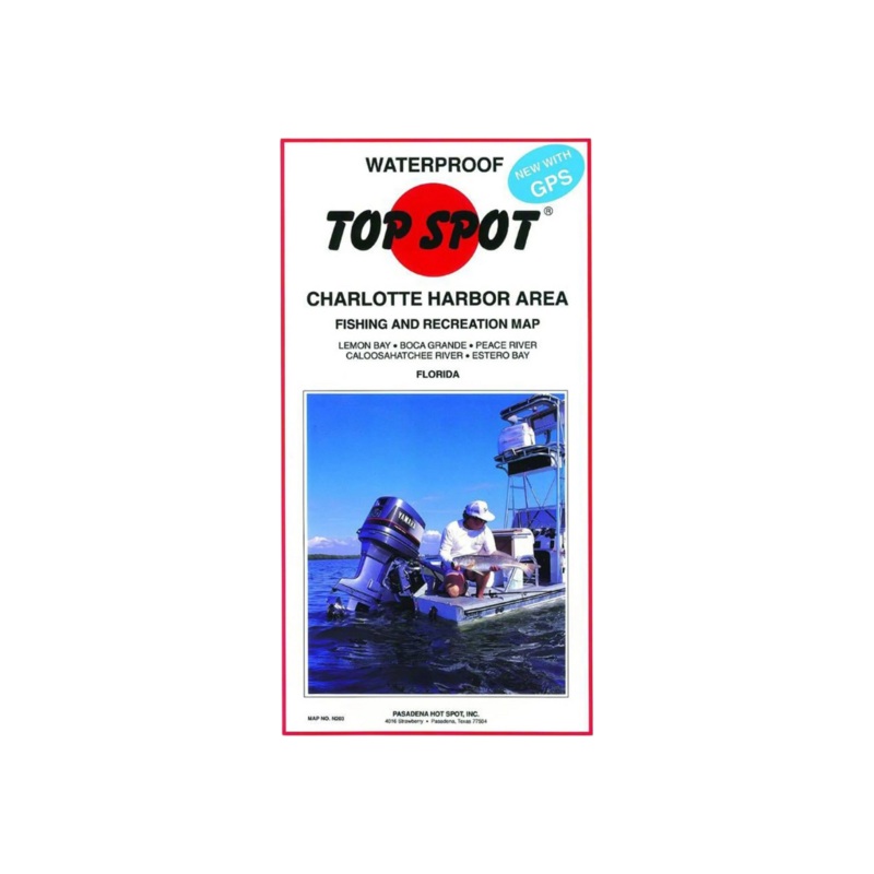
Top Spot N-203 Charlotte Harbor Area
The map shows latitude - longitude lines, depth contours, islands, marinas, boat ramps and well marked fishing locations. Map has tables with detailed listings for the marinas, boat ramps and various waypoints all with GPS coordinates. Fishing locations ar
Category: All Products
The map shows latitude – longitude lines, depth contours, islands, marinas, boat ramps and well marked fishing locations. Map has tables with detailed listings for the marinas, boat ramps and various waypoints all with GPS coordinates. Fishing locations are detailed in a chart with GPS coordinates, special notes, and fish species caught for differ.
Reviews
There are no reviews yet.