Waterproof Caribbean and Gulf of Mexico Planning Chart 4
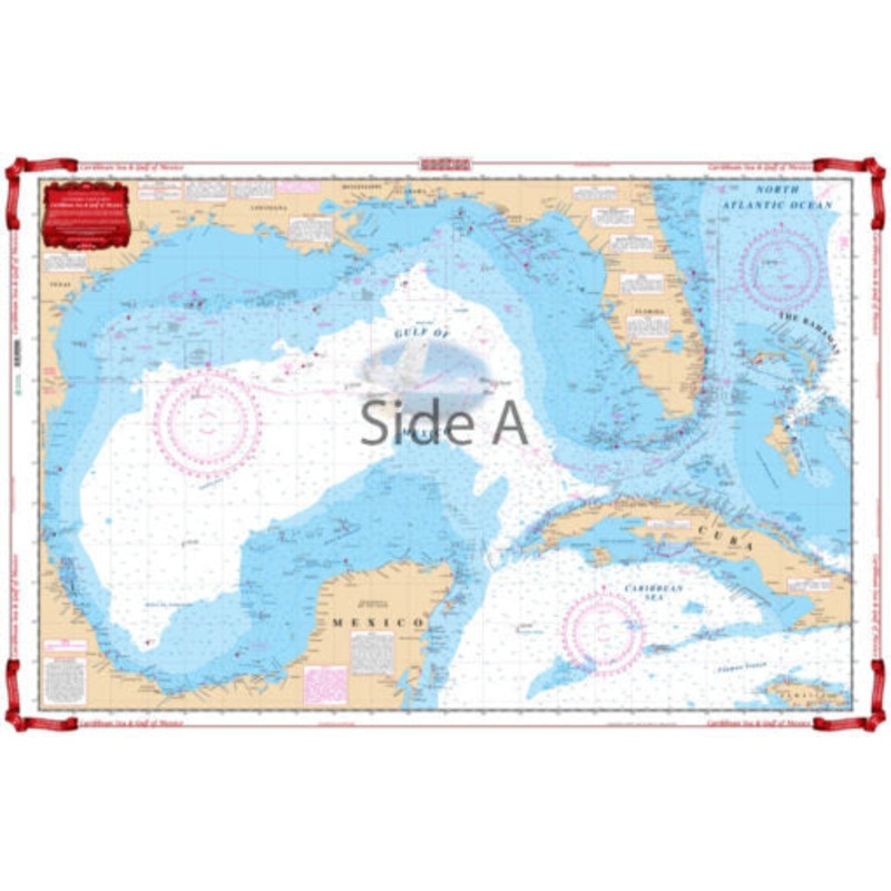
Caribbean Sea and Gulf of Mexico04-Nav ChartsA terrific nautical chart for planning and passage making. Especially suited for framing with excellent colors and readability.The large area, small scale side covers from Bermuda South to Barbados, Trinidad and
Caribbean Sea and Gulf of Mexico
04-Nav Charts
A terrific nautical chart for planning and passage making. Especially suited for framing with excellent colors and readability.The large area, small scale side covers from Bermuda South to Barbados, Trinidad and the North coast of South America, and West to thePanama canal and includes the entire East coasts of Costa Rica, Nicaragua, Honduras, Guatamala, Belize, and Mexico. The reverse side offers more detailed coverage from Florida and the Bahamas South to Jamaica and West to Mexico.
Reviews
There are no reviews yet.